Northeast Pickering — Highway 7 Lands
Pickering, ON · Medium & Low-Density Residential
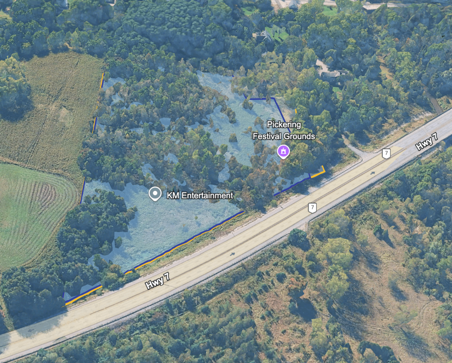
9.5 acres on Highway 7 — the closest Northeast Pickering site to the GTA.
Project Vision
A walkable residential neighbourhood on the western edge of Northeast Pickering. Mid-rise apartment and multiplex buildings frame the Highway 7 streetscape, while townhouse lanes and detached-home streets fill the interior blocks — creating a layered community where every home is a short walk from transit, neighbourhood retail, and the brand-new Dorsay Community & Heritage Centre as the everyday gathering place.
Approved under the Northeast Pickering Secondary Plan (City of Pickering OPA 54, adopted May 2026), the Highway 7 lands are positioned for the next wave of residential growth in Durham Region — fronting Highway 7 with Highway 407 just minutes to the east.
Sustainability & Smart Growth
- Mid-rise block pattern with mid-block pedestrian passages to keep daily errands a short walk.
- District-energy-ready mechanical rooms and roughed-in geothermal loops to future-proof carbon reduction.
- Green roofs, bioretention planters, and rear-yard rain gardens managing first-flush stormwater on-site.
- Complete-street frontage on Highway 7: protected cycle tracks, native street trees, EV charging lay-bys.
- Low-carbon construction pathways encouraged (mass-timber, prefab wall panels) to cut embodied emissions.
Project Timeline
- Current StageNortheast Pickering Secondary Plan approved — site designated for low- and medium-density residential growth
- NextZoning By-law amendment and draft plan submission
- ThenSite Plan Approval (Phase 1)
- ConstructionShoring, servicing, and delivery of first residential phase
- NoteTiming subject to municipal process, servicing allocation, and agency review
Project Facts
- Site Area
- 9.5 acres
- Designation
- Secondary Plan Approved (Medium & Low-Density Residential)
- Frontage
- Highway 7
- Status
- Approved Land Bank